Outdoor · MOUNTAINS
GUNUNG NUANG VIA JANDA BAIK
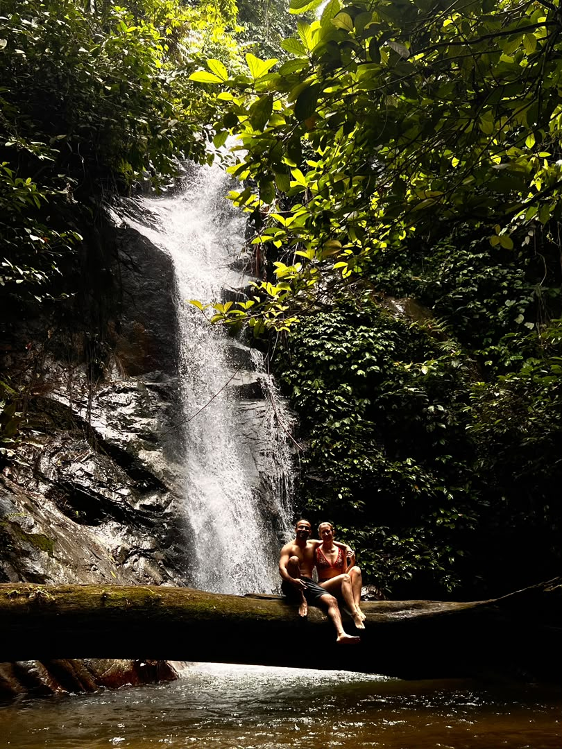
River-tracing and ridge trails for trekkers who want their boots properly wet.
Trip Facts
- Difficulty
- Moderate
- Duration
- 9 hours
- Distance
- 12 km
- Elevation
- 620 m gain
- Best Season
- March – October
- Meeting Point
- Sungai Chilling ranger post
- Weather
- 25–31°C, cool river sections
Meeting Point Map
What's Included
- Licensed Nature Guide & trip leader
- Entrance permits and conservation fees
- Group safety gear and first-aid kit
- Trail snacks and drinking water
- Group photography
What's Excluded
- Personal travel insurance
- Transport to the meeting point
- Personal hiking gear and footwear
- Meals outside the stated itinerary
- Guide gratuity
Equipment List
Trip Itinerary
07:30
Trailhead brief
River-safety briefing and buddy pairing.
08:30
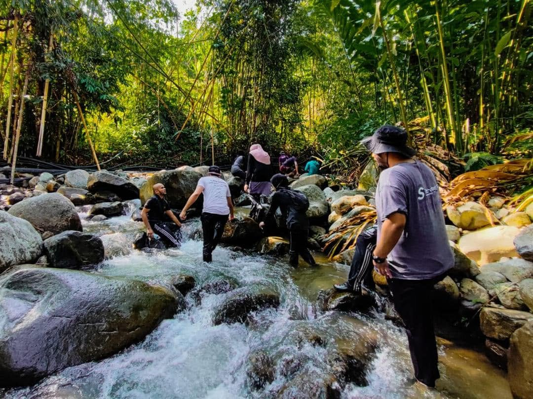
River tracing
Follow the river upstream through boulder gardens.
11:00
Ridge climb
Short steep section to the viewpoint.
13:00
Swim & lunch
Natural pool stop before the return leg.
Available Dates
The Gallery
Inside The Trip.
Customer Reviews
What Our Guests Say.
“Beautifully organised from the first message to the last photo. The guides made everyone feel safe.”
“Small group, no rushing, genuinely stunning scenery. Worth every ringgit.”
“My first trek and I never felt out of my depth. Snacks and pacing were spot on.”
Questions
Good To Know.
No. We brief every group at the meeting point and set a pace that keeps the whole team together.
Children aged 10 and above join comfortably on easy and moderate routes when accompanied by an adult.
Light rain is part of the rainforest. We only postpone for flash-flood risk or lightning, and you keep your slot.
Yes — message us on WhatsApp and we'll arrange a 50% deposit with the balance due three days before departure.
Related Trips
You Might Also Like.
Follow The Journey
Latest From
@roamnative_
Fresh photos and clips from our most recent trips, straight from the field.